-40%
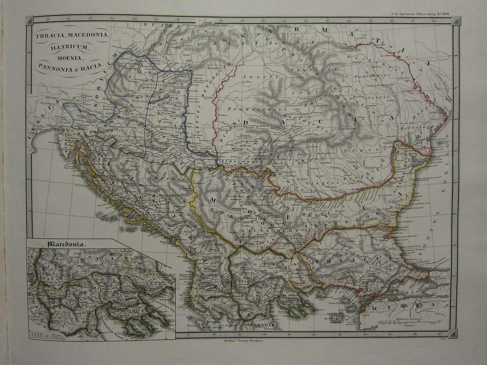
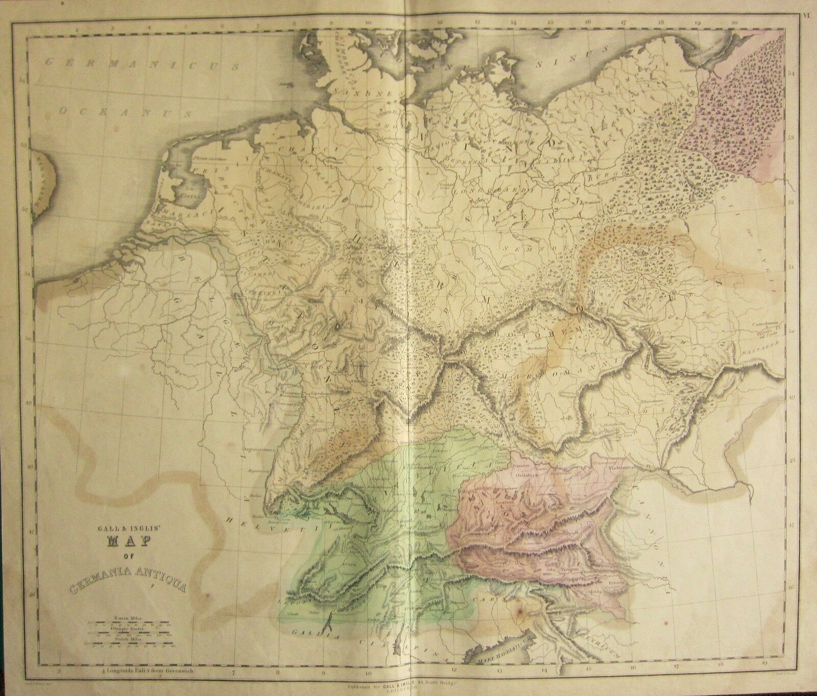
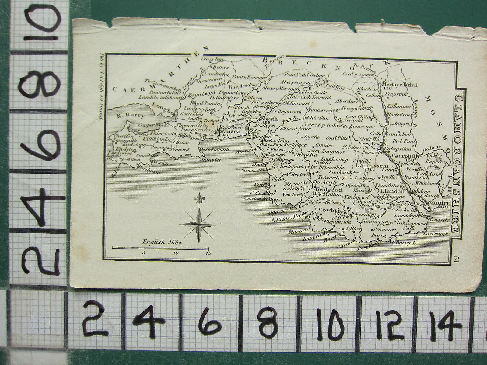
1850 SPRUNER ANTIQUE HISTORICAL MAP ~ THRACE MACEDONIA ILLYRIA DACIA MOESIA
$ 93
- Description
- Size Guide
Description
**THIS IS AN ANTIQUE MAP OVER 165 YEARS OLD**This is from a series of maps produced for:
Atlas Antiquus by Dr Charles De SPRUNER
(Karl Von Spruner)
Printed in Germany by Justus Perthes - 1850
THIS LISTING IS FOR THE SINGLE MAP SHOWN
Maps are hand painted in original outline color
The text on these maps is Latin
Approximate size of map:
17 1/2 inches x 14 inches
440mm x 360mm
****CONDITION****
PLEASE VIEW IMAGES TO SEE ANY HANDLING/AGE MARKS
/REPAIRS/DAMAGE/EXTENT OF MARGINS etc
*********************
Please message with any questions regarding this item
BEST OFFERS PLEASE FOR A
QUICK SALE AT A FAIR PRICE
If you like the item, but do not like the price,
then make a realistic offer to us using the
MAKE OFFER BUTTON
**THIS IS AN ANTIQUE MAP OVER 165 YEARS OLD** This is from a series of maps produced for: Atlas Antiquus by Dr Charles De SPRUNER (Karl Von Spruner) Printed in Germany by Justus Perthes - 1850 THIS LISTING IS FOR THE SINGLE MAP SHOWN Maps are hand painted in original outline color The text on these maps is Latin Approximate size of map: 17 1/2 inches x 14 inches 440mm x 360mm ****CONDITION**** PLEASE VIEW IMAGES TO SEE ANY HANDLING/AGE MARKS /REPAIRS/DAMAGE/EXTENT OF MARGINS etc ********************* Please message with any questions regarding this item BEST OFFERS PLEASE FOR A QUICK SALE AT A FAIR PRICE If you like the item, but do not like the price, then make a realistic offer to us using the MAKE OFFER BUTTON
**THIS IS AN ANTIQUE MAP OVER 165 YEARS OLD** This is from a series of maps produced for: Atlas Antiquus by Dr Charles De SPRUNER (Karl Von Spruner) Printed in Germany by Justus Perthes - 1850 THIS LISTING IS FOR THE SINGLE MAP SHOWN Maps are hand painted in original outline color The text on these maps is Latin Approximate size of map: 17 1/2 inches x 14 inches 440mm x 360mm ****CONDITION**** PLEASE VIEW IMAGES TO SEE ANY HANDLING/AGE MARKS /REPAIRS/DAMAGE/EXTENT OF MARGINS etc ********************* Please message with any questions regarding this item BEST OFFERS PLEASE FOR A QUICK SALE AT A FAIR PRICE If you like the item, but do not like the price, then make a realistic offer to us using the MAKE OFFER BUTTON
**THIS IS AN ANTIQUE MAP OVER 165 YEARS OLD** This is from a series of maps produced for: Atlas Antiquus by Dr Charles De SPRUNER (Karl Von Spruner) Printed in Germany by Justus Perthes - 1850 THIS LISTING IS FOR THE SINGLE MAP SHOWN Maps are hand painted in original outline color The text on these maps is Latin Approximate size of map: 17 1/2 inches x 14 inches 440mm x 360mm ****CONDITION**** PLEASE VIEW IMAGES TO SEE ANY HANDLING/AGE MARKS /REPAIRS/DAMAGE/EXTENT OF MARGINS etc ********************* Please message with any questions regarding this item BEST OFFERS PLEASE FOR A QUICK SALE AT A FAIR PRICE If you like the item, but do not like the price, then make a realistic offer to us using the MAKE OFFER BUTTON
**THIS IS AN ANTIQUE MAP OVER 165 YEARS OLD** This is from a series of maps produced for: Atlas Antiquus by Dr Charles De SPRUNER (Karl Von Spruner) Printed in Germany by Justus Perthes - 1850 THIS LISTING IS FOR THE SINGLE MAP SHOWN Maps are hand painted in original outline color The text on these maps is Latin Approximate size of map: 17 1/2 inches x 14 inches 440mm x 360mm ****CONDITION**** PLEASE VIEW IMAGES TO SEE ANY HANDLING/AGE MARKS /REPAIRS/DAMAGE/EXTENT OF MARGINS etc ********************* Please message with any questions regarding this item BEST OFFERS PLEASE FOR A QUICK SALE AT A FAIR PRICE If you like the item, but do not like the price, then make a realistic offer to us using the MAKE OFFER BUTTON
**THIS IS AN ANTIQUE MAP OVER 165 YEARS OLD** This is from a series of maps produced for: Atlas Antiquus by Dr Charles De SPRUNER (Karl Von Spruner) Printed in Germany by Justus Perthes - 1850 THIS LISTING IS FOR THE SINGLE MAP SHOWN Maps are hand painted in original outline color The text on these maps is Latin Approximate size of map: 17 1/2 inches x 14 inches 440mm x 360mm ****CONDITION**** PLEASE VIEW IMAGES TO SEE ANY HANDLING/AGE MARKS /REPAIRS/DAMAGE/EXTENT OF MARGINS etc ********************* Please message with any questions regarding this item BEST OFFERS PLEASE FOR A QUICK SALE AT A FAIR PRICE If you like the item, but do not like the price, then make a realistic offer to us using the MAKE OFFER BUTTON
**THIS IS AN ANTIQUE MAP OVER 165 YEARS OLD** This is from a series of maps produced for: Atlas Antiquus by Dr Charles De SPRUNER (Karl Von Spruner) Printed in Germany by Justus Perthes - 1850 THIS LISTING IS FOR THE SINGLE MAP SHOWN Maps are hand painted in original outline color The text on these maps is Latin Approximate size of map: 17 1/2 inches x 14 inches 440mm x 360mm ****CONDITION**** PLEASE VIEW IMAGES TO SEE ANY HANDLING/AGE MARKS /REPAIRS/DAMAGE/EXTENT OF MARGINS etc ********************* Please message with any questions regarding this item BEST OFFERS PLEASE FOR A QUICK SALE AT A FAIR PRICE If you like the item, but do not like the price, then make a realistic offer to us using the MAKE OFFER BUTTON
